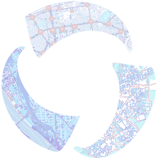
CoGIS - more than just a geographic information system
Digital infrastructure platform for creating cartographic web applications and geoinformation portals
Build your own geoinformation system of any complexity for effective monitoring of spatial objects, solving business problems, and organizing work with large amounts of geodata.
You can organize regulated access to spatial information in accordance with applied corporate security standards, create information, analytical and statistical reports, as well as publish interactive maps and mapping services on the Internet.
No code / Low code environment
One of the distinguishing features of the CoGIS platform is its ability to create the fully featured thematic web map applications without resorting to classical programming.
Working with the application builder which is the main tool for setting up the platform, does not require any specific technical skills or knowledge of programming languages. The user-friendly interface of the application builder allows you to set the structure, content and functions of your geoportal without involving IT specialists, as well as customize access to data in accordance with the user rights and set up automatic reactions to any events in the system, such as deleting, adding or changing data.
In addition, CoGIS offers a range of out-of-the-box geoprocessing tools with which you can create an unlimited number of geoprocessing models (a visual representation of a workflow where multiple tools are run in sequence). This will significantly expand the functionality of your geoportal depending on your current tasks, automate the work, solve complex problems, etc.
This video demonstrates the main CoGIS features and the tasks that can be solved using the platform.
The tasks examples used in the video are based on the real projects implemented for our customers and on the working prototypes.
Besides, the video contains screenshots of our CoGIS demo portal which you are welcome to visit to learn more about the platform functionality in action.
Request for more, we're here to help
If you are interested in our services or have any questions regarding CoGIS functionality, address us at support@dataeast.com and our Services & Support team will be happy to assist you with sending you more information and discussing your requests further at your convenience.
We are ready organize a live CoGIS demonstration, so that you could evaluate the platform capabilities with respect to your working tasks.
We also recommend visiting our demo portal to see a large catalog of thematic maps, to try the CoGIS tools and functions and so to learn the platform features in more detail.
More information
More information about CoGIS, including the product's documentation, can be found in the About the platform section.


